
Russia 17,098,246 km²
2,747.6 trillion bananas 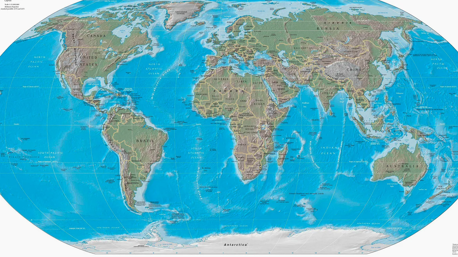
Global geography, fruit edition
Countries Measured In Bananas
A big interactive world map where each country gets converted from sensible square kilometres into the approximate number of bananas that would cover it.
177 countries mapped
2,747.6 trillion bananas largest banana carpet
17.78cm house banana length
Interactive Country Map
Hover, tap, search, and make geography deeply yellow
Hover or focus a country to lift it off the map, then inspect its area in kilometres and approximate banana coverage. Yes, it assumes bananas lie flat and behave themselves.
Region
Country borders are simplified for speed. Banana certainty remains alarmingly high.
Banana Leaderboard
The biggest countries, flattened into fruit maths
These are the countries that would need the most bananas to cover their surface area. This is not a recognised UN metric, which feels like an oversight.
Antarctica 14,000,000 km²
2,249.7 trillion bananas Canada 9,984,670 km²
1,604.5 trillion bananas China 9,706,961 km²
1,559.9 trillion bananas United States 9,525,067 km²
1,530.6 trillion bananas Brazil 8,515,767 km²
1,368.4 trillion bananas Australia 7,692,024 km²
1,236.1 trillion bananas India 3,287,263 km²
528.2 trillion bananas Argentina 2,780,400 km²
446.8 trillion bananas Kazakhstan 2,724,900 km²
437.9 trillion bananas Why Measure Countries In Bananas?
Because square kilometres are useful, but they lack snack energy. Banana coverage makes country sizes strangely visual, deeply silly, and just educational enough to get away with it.
Important Banana Geography Disclaimer
Country areas are approximate and based on public country data. Banana coverage assumes a banana footprint of about 17.78cm by 3.5cm, which is exactly as official as it sounds.